3D Map snapshot view
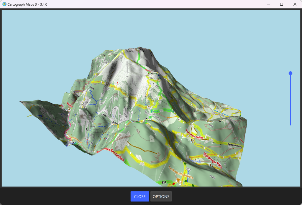
Cartograph Maps 3.3.8 and newer comes with a 3D map snapshot view tool (not available on macOS yet!). The 3D snapshot view shows the current map view together with elevation data.
The view offers the following options:
- Mode: The mode changes the altitude visualization as follows:
- Dynamic: The minimum and maximum altitudes are dynamically calculated from the visible region.
- Fixed: The minimum and maximum altitudes are defined by the user.